Spatial Data Science | Autumn 2017 | University of Chicago
Explore the fundamental concepts and techniques of spatial data analysis with hands-on experience using cutting-edge software and programming languages.
Introduction
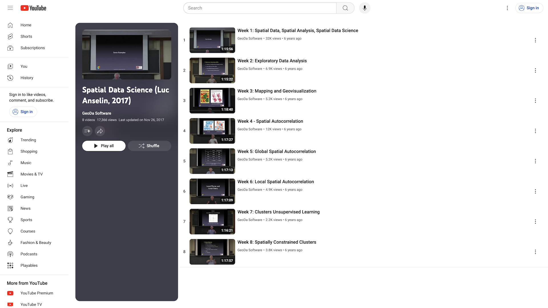
Spatial Data Science is a course taught by Luc Anselin at the University of Chicago in Autumn 2017. The course covers the fundamental concepts and techniques of spatial data analysis, focusing on the unique challenges and opportunities presented by spatial data.

Highlights
- Covers the essential tools and methods for spatial data analysis, including spatial regression, spatial clustering, and spatial visualization.
- Emphasizes the importance of spatial context and the need to account for spatial dependence and heterogeneity in data analysis.
- Provides hands-on experience with real-world spatial data and applications using cutting-edge software and programming languages.
Recommendation
This course is highly recommended for students and professionals interested in geospatial analysis, urban planning, environmental studies, public health, and other fields that involve the study of spatial phenomena. The course provides a solid foundation in spatial data science and equips learners with the skills to tackle complex spatial problems.
YouTube Videos
How GetVM Works
Learn by Doing from Your Browser Sidebar

Access from Browser Sidebar
Simply install the browser extension and click to launch GetVM directly from your sidebar.

Select Your Playground
Choose your OS, IDE, or app from our playground library and launch it instantly.

Learn and Practice Side-by-Side
Practice within the VM while following tutorials or videos side-by-side. Save your work with Pro for easy continuity.
Explore Similar Hands-on Tutorials
Automate the boring stuff with Python
18Learn Python Basics | Beginner-Friendly Programming Course
20Python Tutorial For Beginners | Programming, Coding
1The Missing Semester of Your CS Education | Command-Line, Text Editor, Version Control
1CS50 Labs | Computer Science Fundamentals | Harvard University
1A Programmers Guide to Data Mining
14Probability and Statistics with Examples using R
3Approaching Almost Any Machine Learning Problem
8Free and Open Machine Learning
28Discover categories